Albums: Cariboo

Cariboo
121 images
Submitted by Ron on Tue, 2009/06/23 - 01:44
Pages
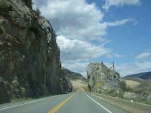
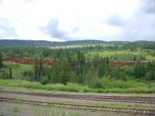
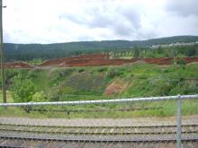
Cariboo trip: rock cut
This is along Hwy 1 heading east from the Fraser Canyon, along the Thompson River.
Uploaded on Tue, 2009/06/23 - 03:17 by Judy 648 visits Add new comment
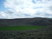
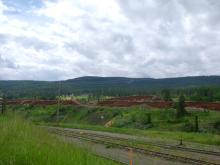
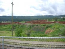
Cariboo trip, along Thompson River
Notice the red line in the hill?
The lovely green meadow looks inviting, and I think that's a field of tumbleweed in the foreground.
Uploaded on Tue, 2009/06/23 - 03:17 by Judy 594 visits Add new comment
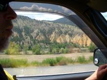
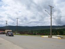
Cariboo trip
Ron driving Hwy 97 (I think: looks more like Thompson River area on Hwy 1)
Uploaded on Tue, 2009/06/23 - 03:17 by Judy 618 visits Add new comment
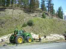
Cariboo
A nasty truck crash spilled lumber along the road.
The cab was badly damaged, one can only hope the driver is okay.
Uploaded on Tue, 2009/06/23 - 03:17 by Judy 616 visits Add new comment
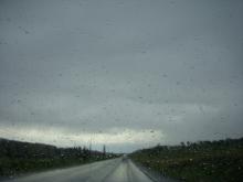
Cariboo Hwy 97
This picture foreshadows our Cariboo experience: thunder and rain ahead.
Uploaded on Tue, 2009/06/23 - 03:17 by Judy 734 visits Add new comment
Cariboo
Maybe 10 metres high, for over a kilometer! All along the edge of town, and beyond.
This was the "best" part of Williams Lake, and the best photo spot (we found) in the Cariboo.
Uploaded on Tue, 2009/06/23 - 03:17 by Judy 603 visits Add new comment
logs, stacked two deep
Maybe 10 metres high, for over a kilometer! All along the edge of town, and beyond.
This was the "best" part of Williams Lake, and the best photo spot (we found) in the Cariboo.
Uploaded on Tue, 2009/06/23 - 03:17 by Judy 811 visits Add new comment
logs, stacked two deep
Maybe 10 metres high, for over a kilometer! All along the edge of town, and beyond.
This was the "best" part of Williams Lake, and the best photo spot (we found) in the Cariboo.
Uploaded on Tue, 2009/06/23 - 03:17 by Judy 557 visits Add new comment
logs, stacked two deep
Maybe 10 metres high, for over a kilometer! All along the edge of town, and beyond.
This was the "best" part of Williams Lake, and the best photo spot (we found) in the Cariboo.
Uploaded on Tue, 2009/06/23 - 03:17 by Judy 621 visits Add new comment
Logs, stacked two deep for !miles!
Maybe 10 metres high, for over a kilometer! All along the edge of town, and beyond.
This was the "best" part of Williams Lake, and the best photo spot (we found) in the Cariboo.
Uploaded on Tue, 2009/06/23 - 03:17 by Judy 564 visits Add new comment

